Welcome to Macerata by Marche website
Tourist Guides in the Marche!
The Parks and the Natural Reserves
-
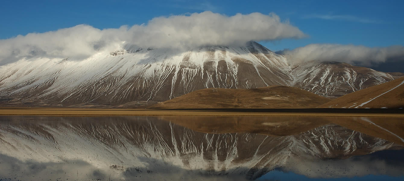
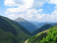 The National Park of the Sibillini Mountains extends across the Marche and Umbria regions, through a surface of about 71.437 hectares, in the provinces of Macerata, Fermo, Ascoli Piceno and Perugia. The Park is a mountain chain, which reaches 2.476 meters height with the Vettore Mountain. It was established in 1993 in the reign of the legendary Sibilla and has a predominant landscape characterized by the calcareous massif of the Apennine chain. In this Park you can find 1800 flower species, 50 mammalian species; furthermore, the Park is full of important architectural buildings, such as abbeys, monasteries, churches, towers, castles, fortresses, mills and tower-houses.
 -
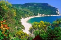 The Regional Natural Park of the Conero is an environmental oasis formed around the Conero Mountain in the province of Ancona. This mountain is a unique promontory of 572 meters height overlooking the sea, on the way from Trieste to Gargano. The Park was established in 1987 and extends through 5800 hectares in a protected area, including the towns of Ancona, Camerano, Numana and Sirolo. To visit with the guide: St. Maria di Portonovo Church, St. Peter at Conero Abbey ("San Pietro al Conero"),, Antiquarium of the Piceni civilization in Numana and the Torre di Guardia tower.
 -
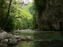 The Regional Natural Park of Gola della Rossa and Frasassi, established in 1997, is one of the most beautiful and biggest regional protected areas of the Marche region, which includes the underground complex of “Grotte di Frasassi”. The Park extends for 9170 hectares on the Apennine side of the province of Ancona and it interests the towns of Serra San Quirico, Genga, Arcevia and Fabriano. A trip in this Park is “a trip in the Heart of the Marche”, discovering the historical and artistic treasures, hidden in fascinating and harmonious landscapes and surrounded by a pure and blooming nature.
 -
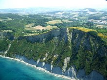
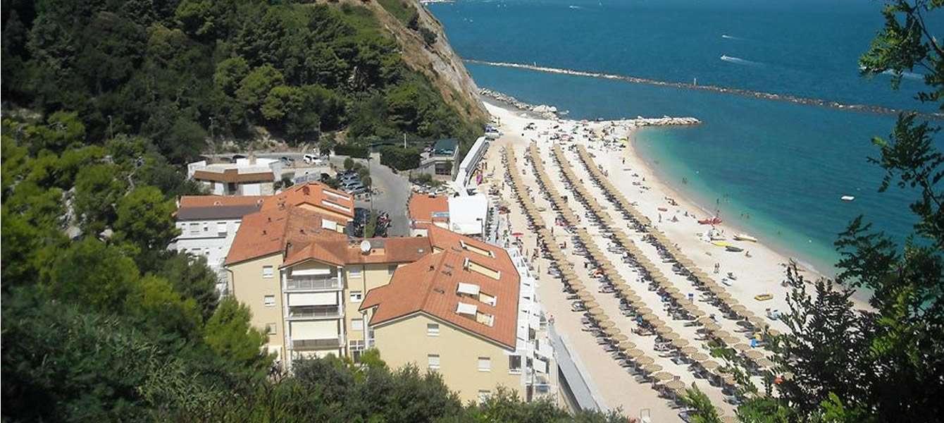
The Regional Natural Park of San Bartolo Mountain is one of the four reserves of the Marche region and occupies a surface of 1.584 hectares. The Park was established in 1994 and is located just before of the Adriatic coast in the province of Pesaro and Urbino, reaching the two towns of Gabicce Mare and Pesaro. It is a territory of a rare beauty represented in the west by a rural landscape with the hills of St. Bartolo, Castellaro and the housing units of Casteldimezzo and Fiorenzuola di Focara, while in the east there is a spectacular cliff overhanging the Adriatic Sea characterized by thin and charming beaches of gravel and sand.
-
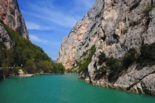 The Public Natural Reserve Gola del Furlo, established in 2001, occupies a surface of about 3.600 hectares among woods, fields and pure summits, which includes the canyon of the Candigliano flow. It is located in the province of Pesaro-Urbino and included in the cities of Acqualagna, Cagli, Fermigliano, Fossombrone and Urbino. It is a real paradise across the Candigliano flow, which wanders among the majestic rocky sides of the canyon. Here the suggestion of the landscape combines with an extraordinary natural treasure proud of a unique example of flora and fauna.
 -
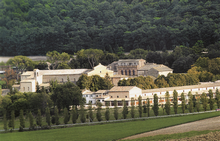 The Public Natural Reserve Abbadia di Fiastra, established in 1984, is located between the Chienti and Fiastra valleys on a hill area in the province of Macerata. It occupies a surface of 1.853 hectares in the cities of Tolentino and Urbisaglia, between 130 and 306 meters. The natural environment is characterized by farmed lands, waterways (Entogge and Fiastra streams) with its typical fauna and flora, “le Vene” lake and by the Selva wood of over 100 hectares, which is almost intact until our days. This is thanks to the attention of Cistercian monks, later to the Bandini family and finally to the Marche region, which has declared it as "area floristica protetta".
 -
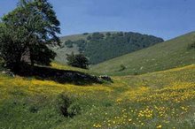 The Public Natural Reserve Montagna di Torricchio , established in 1970 and recognized in 1977, is located in the hinterland of Macerata to the north of the Sibillini mountains National park, in the town of Pievetorina. It extends throughout around 320 hectares and expands on a gradient, which goes from 820 to metres above sea level in the Tazza valley. It is included between Cetrognola and Torricchio Mountains in the north and the Fema Mountain in the south. Geographically, it is a part of the Apennines between Marche and Umbria regions. Formations of calcium, marble or both characterize the Reserve.
 -
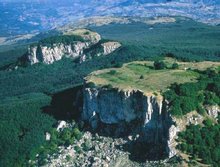 The Natural Park of the Sasso Simone e Simoncello, established in 1994, occupies a surface of 4.847 hectares in the province of Pesaro-Urbino and Rimini, including the old territory of Montefeltro. The landscape of hill and mountains has two principal mountains: Monte Carpegna to North-east, summit of the park and watershed between Foglia valley and Marecchia Valley; Sasso Simone e Simoncello to the south-west. The park is set in the towns of Carpegna, Frontino, Montecopiolo, Pandimeleto, Pennabilli and Pietrarubbia. This landscape is characterized by geomorphological and naturalistic elements full of historical values. The green heart of this park hides the history of the “Città del Sasso”, founded by Cosmo I dei Medici in the middle of the XVI century.


